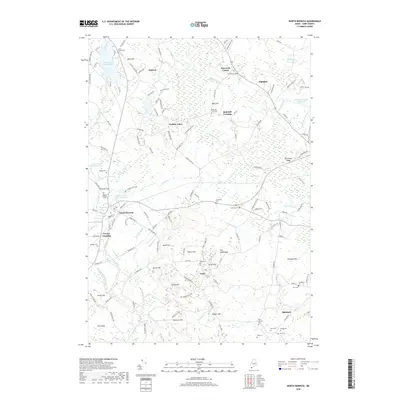
2018 Map of North Berwick
USGS Topo · Published 2018About this map
North Berwick serves as a central hub in this Southern Maine landscape, where the Great Works River and the Neoutaquet River define the local topography. The area is characterized by several distinct historical clusters, including Saywards Corner, Highpine, and the residential layout of Perkins Town. These settlements are interspersed with numerous family and community burial grounds, such as Cole-Gould Cem and Bald Hill Graveyard, which offer significant value for genealogical research.
Find a feature on this map
144 named features on this map. Tap any name to fly to it.
Don’t see what you’re looking for? This feature index may not catch every label — zoom into the map to look around manually.
Map Details
Editions of this 2018 North Berwick Map
This is the sole edition of this map. No revisions or reprints were ever made.
Other maps of this area

1891 · Berwick
USGS Topo · 1:62,500

1891 · Kennebunk
USGS Topo · 1:62,500

1893 · Kennebunk
USGS Topo · 1:62,500

1893 · Dover
USGS Topo · 1:62,500

1893 · Berwick
USGS Topo · 1:62,500

1893 · York
USGS Topo · 1:62,500

1898 · Kennebunk
USGS Topo · 1:62,500

1916 · Dover
USGS Topo · 1:62,500

1918 · Dover
USGS Topo · 1:62,500

1920 · York
USGS Topo · 1:62,500