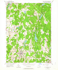
1952 Map of North Brookfield
USGS Topo · Published 1964About this map
North Brookfield and the surrounding Worcester County highlands are defined by a network of small mill rivers and numerous upland ponds. In this mid-century survey, the town center serves as a clear hub for the region's infrastructure, with residential clusters fanning out toward Hillsville and the agricultural landscapes of New Braintree. The topography is marked by a series of prominent drumlins and family-named elevations such as Tarbell Hill, Buck Hill, and Tufts Hill, which dictate the winding paths of roads like Old Turnpike Road. Significant land use is dedicated to spiritual and civic spaces, including the prominent St Josephs Abbey and several historic burial grounds like Walnut Grove Cem. Conservation and recreation are anchored by the Oakham State Forest in the east, while the Sevenmile River and Fivemile River highlight the drainage patterns that once powered local industry.
Find a feature on this map
58 named features on this map. Tap any name to fly to it.
Don’t see what you’re looking for? This feature index may not catch every label — zoom into the map to look around manually.
Map Details
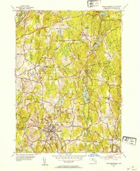
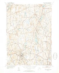
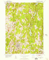
Editions of this 1952 North Brookfield Map
4 editions found
Other maps of this area

1885 · Worcester
USGS Topo · 1:62,500

1886 · Worcester
USGS Topo · 1:62,500

1887 · Brookfield
USGS Topo · 1:62,500

1887 · Barre
USGS Topo · 1:62,500

1889 · Webster
USGS Topo · 1:62,500

1889 · Barre
USGS Topo · 1:62,500

1890 · Brookfield
USGS Topo · 1:62,500

1892 · Webster
USGS Topo · 1:62,500

1892 · Worcester
USGS Topo · 1:62,500

1893 · Brookfield
USGS Topo · 1:62,500