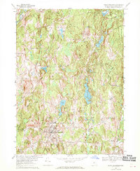
1967 Map of North Brookfield
USGS Topo · Published 1970About this map
The town of North Brookfield serves as the focal point of this late 1960s survey, surrounded by a complex landscape of glacial hills and interconnected waterways. The township is situated among numerous named heights, including Tower Hill, Bell Hill, and Walnut Hill, which dictate the winding paths of local roads. Water management and natural ponds are central to the geography, with Brooks Pond and Adams Pond punctuating the terrain while the Ware River flows through the northwest corner.
Find a feature on this map
54 named features on this map. Tap any name to fly to it.
Don’t see what you’re looking for? This feature index may not catch every label — zoom into the map to look around manually.
Map Details
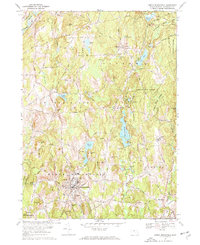
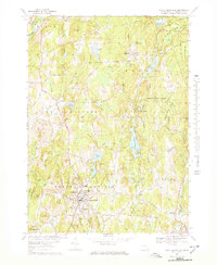
Editions of this 1967 North Brookfield Map
3 editions found
Other maps of this area

1885 · Worcester
USGS Topo · 1:62,500

1886 · Worcester
USGS Topo · 1:62,500

1887 · Brookfield
USGS Topo · 1:62,500

1887 · Barre
USGS Topo · 1:62,500

1889 · Webster
USGS Topo · 1:62,500

1889 · Barre
USGS Topo · 1:62,500

1890 · Brookfield
USGS Topo · 1:62,500

1892 · Webster
USGS Topo · 1:62,500

1892 · Worcester
USGS Topo · 1:62,500

1893 · Brookfield
USGS Topo · 1:62,500