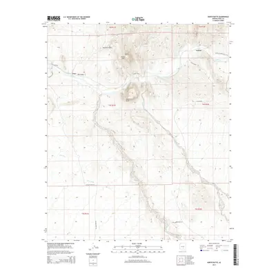
2014 Map of North Butte
USGS Topo · Published 2014About this map
The Gila River cuts a deep course through this desert landscape in Pinal County, carving through geologic formations like Box Canyon and Martinez Canyon. The area is anchored by the prominent elevations of North Butte, South Butte, and Double Peaks, which dominate the central terrain. Human presence is marked by the small settlements of Price and Cochran, connected by a network of ranch and station roads that navigate the complex topography. Drainage patterns are defined by significant ephemeral features such as Donnelly Wash and China Wash, which lead toward the primary river corridor. This survey also documents the route of the Arizona National Scenic Trail as it traverses the northeastern corner of the quadrangle, illustrating the contemporary recreational use of this arid environment alongside established ranching interests like those found along Whitlow Ranch Rd.
Find a feature on this map
22 named features on this map. Tap any name to fly to it.
Don’t see what you’re looking for? This feature index may not catch every label — zoom into the map to look around manually.
Map Details
Editions of this 2014 North Butte Map
This is the sole edition of this map. No revisions or reprints were ever made.
Other maps of this area

1900 · Florence
USGS Topo · 1:125,000

1902 · Florence
USGS Topo · 1:125,000

1922 · Red Rock No 2
USGS Topo · 1:48,000

1934 · Newman Peak
USGS Topo · 1:125,000

1954 · Mesa
USGS Topo · 1:250,000

1956 · Tucson
USGS Topo · 1:250,000

1957 · Mesa
USGS Topo · 1:250,000

1958 · Mesa
USGS Topo · 1:250,000

1958 · Tucson
USGS Topo · 1:250,000

1959 · Tucson
USGS Topo · 1:250,000