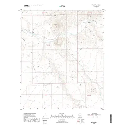
2018 Map of North Butte
USGS Topo · Published 2018About this map
The Gila River cuts through this Pinal County landscape, serving as the primary corridor for movement and settlement. Small outposts like Price and Cochran are situated along its banks, connected by the rugged paths of E Price Rd and Cochran Rd. The topography is defined by prominent igneous formations, most notably North Butte and South Butte, with the unique profile of Double Peaks rising between them.
Find a feature on this map
26 named features on this map. Tap any name to fly to it.
Don’t see what you’re looking for? This feature index may not catch every label — zoom into the map to look around manually.
Map Details
Editions of this 2018 North Butte Map
This is the sole edition of this map. No revisions or reprints were ever made.
Other maps of this area

1900 · Florence
USGS Topo · 1:125,000

1902 · Florence
USGS Topo · 1:125,000

1922 · Red Rock No 2
USGS Topo · 1:48,000

1934 · Newman Peak
USGS Topo · 1:125,000

1954 · Mesa
USGS Topo · 1:250,000

1956 · Tucson
USGS Topo · 1:250,000

1957 · Mesa
USGS Topo · 1:250,000

1958 · Mesa
USGS Topo · 1:250,000

1958 · Tucson
USGS Topo · 1:250,000

1959 · Tucson
USGS Topo · 1:250,000