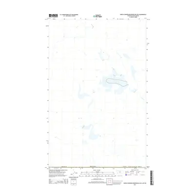
2014 Map of North Chinook Reservoir NE OE N
USGS Topo · Published 2014About this map
The high plains of northern Blaine Co meet the international boundary on this 2014 survey. This portion of north-central Montana is defined by a sparse, aquatic landscape where the drainage of Lyons Cr winds through open country toward the Canada / United States of America border. The map illustrates a remote prairie environment, punctuated by numerous small depressions and intermittent water bodies that characterize the glaciated terrain of the northern Great Plains. While settlements are absent from this specific quadrangle, the precise mapping of the border line and local drainages provides a detailed look at the geography of the Milk River basin region just before the mid-2010s.
Find a feature on this map
4 named features on this map. Tap any name to fly to it.
Don’t see what you’re looking for? This feature index may not catch every label — zoom into the map to look around manually.
Map Details
Editions of this 2014 North Chinook Reservoir NE OE N Map
This is the sole edition of this map. No revisions or reprints were ever made.
Other maps of this area

1912 · Zurich
USGS Topo · 1:125,000

1953 · Havre
USGS Topo · 1:250,000

1957 · Havre
USGS Topo · 1:250,000

1958 · Havre
USGS Topo · 1:250,000

1984 · Havre
USGS Topo · 1:100,000
1984 · Richmond Reservoir NW
USGS Topo · 1:24,000
1984 · North Chinook Reservoir NE
USGS Topo · 1:24,000
1984 · North Chinook Reservoir NW
USGS Topo · 1:24,000
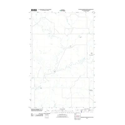
2011 · Richmond Reservoir NW
USGS Topo · 1:24,000
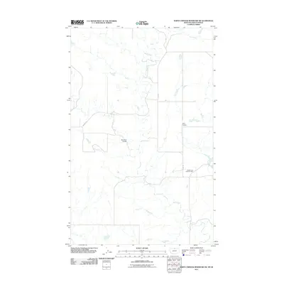
2011 · North Chinook Reservoir NW
USGS Topo · 1:24,000