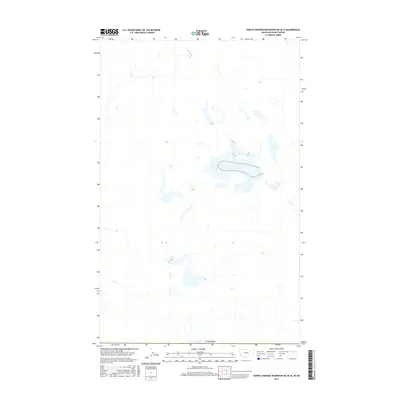
2017 Map of North Chinook Reservoir NE OE N
USGS Topo · Published 2017About this map
The international border with Canada defines the southern edge of this Montana landscape, where the prairie begins its northward stretch into Saskatchewan. The terrain is marked by a network of intermittent wetlands and drainage patterns typical of the Northern Great Plains. Lyons Cr winds through the eastern portion of the map, serving as a primary hydrological feature in an area dominated by subtle topographic shifts and seasonal water storage. The 2017 survey by the U.S. Geological Survey details a sparsely developed region where the land use is dictated by the natural flow of the creek and the vast, open stretches of the borderlands.
Find a feature on this map
2 named features on this map. Tap any name to fly to it.
Don’t see what you’re looking for? This feature index may not catch every label — zoom into the map to look around manually.
Map Details
Editions of this 2017 North Chinook Reservoir NE OE N Map
This is the sole edition of this map. No revisions or reprints were ever made.
Other maps of this area

1912 · Zurich
USGS Topo · 1:125,000

1953 · Havre
USGS Topo · 1:250,000

1957 · Havre
USGS Topo · 1:250,000

1958 · Havre
USGS Topo · 1:250,000

1984 · Havre
USGS Topo · 1:100,000
1984 · Richmond Reservoir NW
USGS Topo · 1:24,000
1984 · North Chinook Reservoir NE
USGS Topo · 1:24,000
1984 · North Chinook Reservoir NW
USGS Topo · 1:24,000
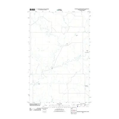
2011 · Richmond Reservoir NW
USGS Topo · 1:24,000
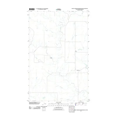
2011 · North Chinook Reservoir NW
USGS Topo · 1:24,000