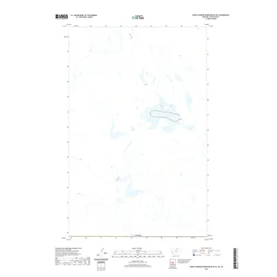
2020 Map of North Chinook Reservoir NE OE N
USGS Topo · Published 2020About this map
The international border with Canada forms the southern boundary of this high-latitude Montana landscape in Blaine County. This modern digital survey from the U.S. Geological Survey emphasizes the intricate hydrography of the northern plains, where complex drainage patterns and seasonal water bodies dominate the terrain. Without the presence of named settlements or interior landmarks on the map face, the document serves as a precise record of the topographical features immediately north of the North Chinook Reservoir area. The network of unnamed streams and depressions reflects a drainage system that has remained largely untouched by major development, preserving the original character of this borderland region.
Find a feature on this map
1 named feature on this map. Tap any name to fly to it.
Don’t see what you’re looking for? This feature index may not catch every label — zoom into the map to look around manually.
Map Details
Editions of this 2020 North Chinook Reservoir NE OE N Map
This is the sole edition of this map. No revisions or reprints were ever made.
Other maps of this area

1912 · Zurich
USGS Topo · 1:125,000

1953 · Havre
USGS Topo · 1:250,000

1957 · Havre
USGS Topo · 1:250,000

1958 · Havre
USGS Topo · 1:250,000

1984 · Havre
USGS Topo · 1:100,000
1984 · Richmond Reservoir NW
USGS Topo · 1:24,000
1984 · North Chinook Reservoir NE
USGS Topo · 1:24,000
1984 · North Chinook Reservoir NW
USGS Topo · 1:24,000
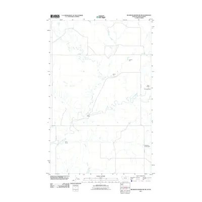
2011 · Richmond Reservoir NW
USGS Topo · 1:24,000
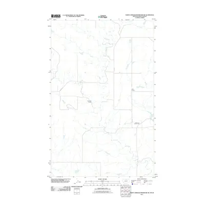
2011 · North Chinook Reservoir NW
USGS Topo · 1:24,000