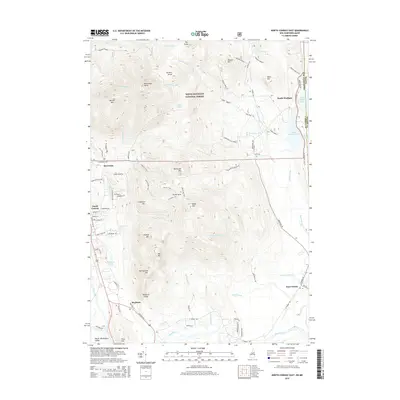
2015 Map of North Conway East
USGS Topo · Published 2015About this map
The Saco River valley dominates this landscape, carving through a region defined by granite peaks and dense woodland. Within the White Mountain National Forest, the terrain rises sharply from the valley floor to landmarks like Kearsarge North and Hurricane Mtn. The eastern edge of North Conway shows a concentrated network of streets such as Skimobile Rd and Artist Falls Rd, signaling the area's development as a gateway for mountain recreation.
Find a feature on this map
84 named features on this map. Tap any name to fly to it.
Don’t see what you’re looking for? This feature index may not catch every label — zoom into the map to look around manually.
Map Details
Editions of this 2015 North Conway East Map
This is the sole edition of this map. No revisions or reprints were ever made.
Other maps of this area

1894 · North Conway
USGS Topo · 1:62,500

1896 · North Conway
USGS Topo · 1:62,500

1909 · Fryeburg
USGS Topo · 1:62,500

1910 · Kezar Falls
USGS Topo · 1:48,000

1911 · Fryeburg
USGS Topo · 1:62,500

1911 · Kezar Falls
USGS Topo · 1:62,500

1930 · Ossipee Lake
USGS Topo · 1:62,500

1941 · Fryeburg
USGS Topo · 1:62,500

1942 · North Conway
USGS Topo · 1:62,500

1945 · North Conway
USGS Topo · 1:62,500