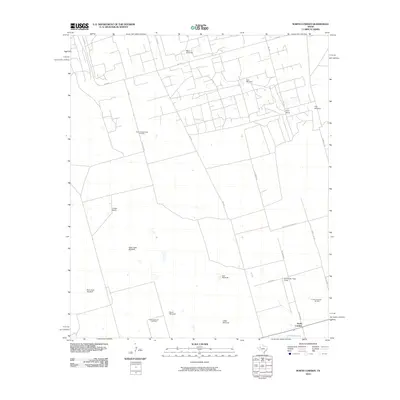
2010 Map of North Cowden
USGS Topo · Published 2010About this map
The North Cowden Oil Field and East Goldsmith Oil Field define this Permian Basin landscape, where energy extraction and ranching co-exist on the West Texas plains. Scattered throughout the territory are numerous functional landmarks essential to high-desert operations, including uniquely named structures such as the Alley Oople Windmill, Rich Uncle Windmill, and White Windmill. These features indicate a reliance on groundwater for livestock at settlements like Flynt Ranch and Conger Ranch.
Find a feature on this map
28 named features on this map. Tap any name to fly to it.
Don’t see what you’re looking for? This feature index may not catch every label — zoom into the map to look around manually.
Map Details
Editions of this 2010 North Cowden Map
This is the sole edition of this map. No revisions or reprints were ever made.
Other maps of this area

1954 · Hobbs
USGS Topo · 1:250,000

1954 · Pecos
USGS Topo · 1:250,000

1957 · Pecos
USGS Topo · 1:250,000

1958 · Hobbs
USGS Topo · 1:250,000

1964 · Odessa NW
USGS Topo · 1:24,000

1964 · Turnbaugh Corner
USGS Topo · 1:24,000

1965 · Goldsmith
USGS Topo · 1:24,000

1967 · North Cowden
USGS Topo · 1:24,000

1968 · Coyote Corner
USGS Topo · 1:24,000

1968 · North Cowden NW
USGS Topo · 1:24,000