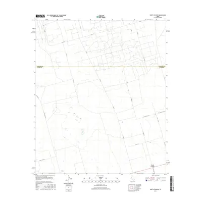
2016 Map of North Cowden
USGS Topo · Published 2016About this map
The boundary between Andrews Co and Ector Co bisects this West Texas landscape, where the rural character is defined by a sparse network of ranch and energy-related access roads. The small community of North Cowden sits at the southern edge of the quadrangle, serving as a focal point for the surrounding region. The terrain is largely arid, punctuated by the seasonal basin of Embar Lake and a grid of numbered roads such as SW 3001 and SW 4001 that support local ranching and industry. Significant corridors like Boy Scouts Ranch Rd and Dwight Helms Rd cut across the plains, while names like Caliche Rd and Altura Lease Rd reflect the geological and commercial heritage of the Permian Basin. This topographic study documents the infrastructure of a modern Texas oil and cattle landscape before the further expansion of regional development.
Find a feature on this map
23 named features on this map. Tap any name to fly to it.
Don’t see what you’re looking for? This feature index may not catch every label — zoom into the map to look around manually.
Map Details
Editions of this 2016 North Cowden Map
This is the sole edition of this map. No revisions or reprints were ever made.
Other maps of this area

1954 · Hobbs
USGS Topo · 1:250,000

1954 · Pecos
USGS Topo · 1:250,000

1957 · Pecos
USGS Topo · 1:250,000

1958 · Hobbs
USGS Topo · 1:250,000

1964 · Odessa NW
USGS Topo · 1:24,000

1964 · Turnbaugh Corner
USGS Topo · 1:24,000

1965 · Goldsmith
USGS Topo · 1:24,000

1967 · North Cowden
USGS Topo · 1:24,000

1968 · Coyote Corner
USGS Topo · 1:24,000

1968 · North Cowden NW
USGS Topo · 1:24,000