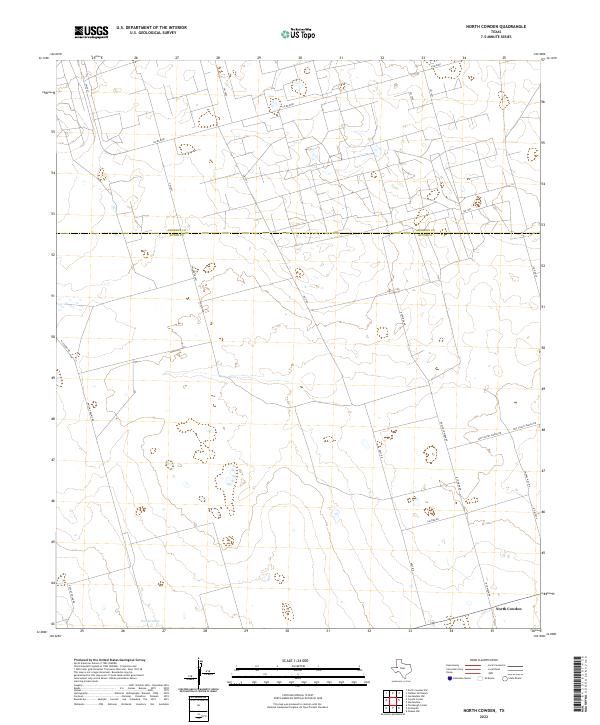
2022 Map of North Cowden
USGS Topo · Published 2022About this map
North Cowden serves as the primary focal point of this West Texas landscape, where the high plains of the Permian Basin are partitioned by an extensive network of county and ranch roads. The territory spans the Andrews Co Ector Co line, illustrating the modern rural structure of the region in the early 21st century. The terrain is characterized by subtle drainage patterns and seasonal water features like Embar Lake in the southwest. Transport and access are defined by a grid of named routes such as Dwight Helms Rd and Holt Rd, while the presence of Boys Scout Ranch Rd and Chapel Hill Rd suggests a landscape utilized for more than just agricultural or industrial production. The map's detailed road network, including numerous numbered SW routes, provides a clear view of how land is managed across these expansive county blocks.
Find a feature on this map
23 named features on this map. Tap any name to fly to it.
Don’t see what you’re looking for? This feature index may not catch every label — zoom into the map to look around manually.
Map Details
Editions of this 2022 North Cowden Map
This is the sole edition of this map. No revisions or reprints were ever made.
Other maps of this area

1954 · Hobbs
USGS Topo · 1:250,000

1954 · Pecos
USGS Topo · 1:250,000

1957 · Pecos
USGS Topo · 1:250,000

1958 · Hobbs
USGS Topo · 1:250,000

1964 · Odessa NW
USGS Topo · 1:24,000

1964 · Turnbaugh Corner
USGS Topo · 1:24,000

1965 · Goldsmith
USGS Topo · 1:24,000

1967 · North Cowden
USGS Topo · 1:24,000

1968 · Coyote Corner
USGS Topo · 1:24,000

1968 · North Cowden NW
USGS Topo · 1:24,000