
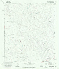
1967 Map of North Cowden
USGS Topo · Published 1970About this map
The oil-rich Permian Basin landscape is defined by extensive industrial development and cattle ranching across the Andrews Co Ector Co line in the late 1960s. This survey reveals a dense network of extraction infrastructure, notably within the North Cowden Deep Oil Field and the East Goldsmith Oil Field. Pipelines, gravel pits, and a Gasoline Plant dominate the terrain, while an Aqueduct cuts through the southern portion near North Cowden.
Find a feature on this map
23 named features on this map. Tap any name to fly to it.
Don’t see what you’re looking for? This feature index may not catch every label — zoom into the map to look around manually.
Map Details
Editions of this 1967 North Cowden Map
2 editions found
Other maps of this area

1954 · Hobbs
USGS Topo · 1:250,000

1954 · Pecos
USGS Topo · 1:250,000

1957 · Pecos
USGS Topo · 1:250,000

1958 · Hobbs
USGS Topo · 1:250,000

1964 · Odessa NW
USGS Topo · 1:24,000

1964 · Turnbaugh Corner
USGS Topo · 1:24,000

1965 · Goldsmith
USGS Topo · 1:24,000

1968 · Coyote Corner
USGS Topo · 1:24,000

1968 · North Cowden NW
USGS Topo · 1:24,000

1968 · Gardendale NW
USGS Topo · 1:24,000