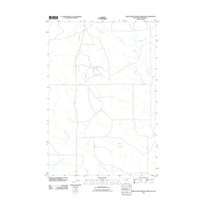
2011 Map of North Fork Crooked Creek East
USGS Topo · Published 2011About this map
North Fork Crooked Creek and its neighboring tributaries define this rural landscape in Yellowstone County. In 2011, the area remained characterized by expansive ranchland and a sparse network of secondary roads. The drainage systems of West Fork Razor Creek and East Fork Razor Creek converge as they flow eastward, illustrating the hydraulic patterns of this high-plains region. The presence of Old Wagon Trl in the southern portion of the sheet provides a tangible link to earlier transport corridors, tracing a route that predates the modern paved thoroughfares. Contemporary settlement is marked by residential clusters along Kelly Cir and Cara Ln, where local property owners developed land near the corridor of Highway 87. This map documents a period of modest development where legacy ranch roads like Stonehouse Rd and Lindstrom Rd intersect with newer residential lanes.
Find a feature on this map
21 named features on this map. Tap any name to fly to it.
Don’t see what you’re looking for? This feature index may not catch every label — zoom into the map to look around manually.
Map Details
Editions of this 2011 North Fork Crooked Creek East Map
This is the sole edition of this map. No revisions or reprints were ever made.
Other maps of this area

1893 · Huntley
USGS Topo · 1:125,000

1954 · Billings
USGS Topo · 1:250,000

1954 · Roundup
USGS Topo · 1:250,000

1956 · Rattlesnake Butte
USGS Topo · 1:24,000

1956 · Hickson Ranch
USGS Topo · 1:24,000

1956 · Huntley
USGS Topo · 1:24,000

1957 · Billings
USGS Topo · 1:250,000

1958 · Billings
USGS Topo · 1:250,000

1958 · Roundup
USGS Topo · 1:250,000

1979 · Roundup
USGS Topo · 1:100,000