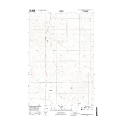
2017 Map of North Fork Crooked Creek East
USGS Topo · Published 2017About this map
Hoskin Basin and the headwaters of the Crooked Creek drainage define this landscape in Montana's Big Sky country north of the Yellowstone River. The terrain is structured by a network of drainage systems, including the N Fork Crooked Cr and the S Fork Crooked Cr, which cut through the high plains. Historically significant routes like the Old Wagon Trl suggest the enduring importance of this corridor for regional movement between basins. Modern access is marked by a grid of rural thoroughfares such as Roundup Rd and Stonehouse Rd, reflecting the long-term division of ranchlands and homesteads across the townships. Water remains the primary geographical marker here, with the branching of W Razor Cr and E Fork Razor Cr providing essential drainage for the northern sections of the quadrangle.
Find a feature on this map
28 named features on this map. Tap any name to fly to it.
Don’t see what you’re looking for? This feature index may not catch every label — zoom into the map to look around manually.
Map Details
Editions of this 2017 North Fork Crooked Creek East Map
This is the sole edition of this map. No revisions or reprints were ever made.
Other maps of this area

1893 · Huntley
USGS Topo · 1:125,000

1954 · Billings
USGS Topo · 1:250,000

1954 · Roundup
USGS Topo · 1:250,000

1956 · Rattlesnake Butte
USGS Topo · 1:24,000

1956 · Hickson Ranch
USGS Topo · 1:24,000

1956 · Huntley
USGS Topo · 1:24,000

1957 · Billings
USGS Topo · 1:250,000

1958 · Billings
USGS Topo · 1:250,000

1958 · Roundup
USGS Topo · 1:250,000

1979 · Roundup
USGS Topo · 1:100,000