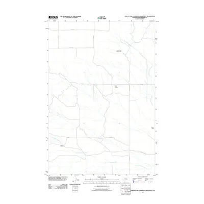
2011 Map of North Fork Crooked Creek West
USGS Topo · Published 2011About this map
Hoskin Basin Cemetery and the nearby Hoskin Basin terrain define this rural landscape in Yellowstone County. The map reveals a land structured by water management and ranching, evidenced by the Conservation Reservoir Dam and the Schultz Ranch. This area is drained by the meandering North Fork Crooked Creek and South Fork Crooked Creek, which carve through the plains. The rectangular grid of the section lines is echoed by the local road network, including the long stretches of 21 Mile Rd, Hoskins Basin Rd, and Heag Rd. These corridors provide the primary access to the scattered homesteads and agricultural operations that characterize this high-plains environment in the early twenty-first century.
Find a feature on this map
17 named features on this map. Tap any name to fly to it.
Don’t see what you’re looking for? This feature index may not catch every label — zoom into the map to look around manually.
Map Details
Editions of this 2011 North Fork Crooked Creek West Map
This is the sole edition of this map. No revisions or reprints were ever made.
Other maps of this area

1893 · Huntley
USGS Topo · 1:125,000

1954 · Billings
USGS Topo · 1:250,000

1954 · Roundup
USGS Topo · 1:250,000

1956 · Rattlesnake Butte
USGS Topo · 1:24,000

1956 · Acton
USGS Topo · 1:24,000

1956 · Hickson Ranch
USGS Topo · 1:24,000

1957 · Billings
USGS Topo · 1:250,000

1958 · Billings
USGS Topo · 1:250,000

1958 · Roundup
USGS Topo · 1:250,000

1979 · Roundup
USGS Topo · 1:100,000