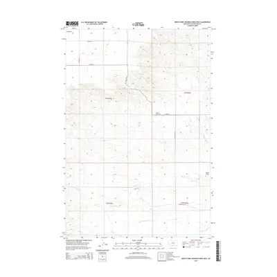
2014 Map of North Fork Crooked Creek West
USGS Topo · Published 2014About this map
Hoskin Basin serves as a focal point for this expansive section of Yellowstone County, where the high-plains landscape is carved by the drainages of the N Fork Crooked Cr and S Fork Crooked Cr. This 2014 survey captures a rural ranching environment defined more by its terrain and drainage basins than by concentrated town sites. The presence of the Hoskin Basin Cem along 21 Mile Rd provides a critical anchor for local genealogists and historians tracing family roots in this part of Montana. To the northwest, Hay Basin stands out as a significant topographic feature, with the section-line road network including Bender Rd and Cushman Rd providing access across the township boundaries of T4N and T3N. The map illustrates a landscape of intermittent watercourses and established rural thoroughfares such as Hoskins Basin Rd and Mackey Rd.
Find a feature on this map
17 named features on this map. Tap any name to fly to it.
Don’t see what you’re looking for? This feature index may not catch every label — zoom into the map to look around manually.
Map Details
Editions of this 2014 North Fork Crooked Creek West Map
This is the sole edition of this map. No revisions or reprints were ever made.
Other maps of this area

1893 · Huntley
USGS Topo · 1:125,000

1954 · Billings
USGS Topo · 1:250,000

1954 · Roundup
USGS Topo · 1:250,000

1956 · Rattlesnake Butte
USGS Topo · 1:24,000

1956 · Acton
USGS Topo · 1:24,000

1956 · Hickson Ranch
USGS Topo · 1:24,000

1957 · Billings
USGS Topo · 1:250,000

1958 · Billings
USGS Topo · 1:250,000

1958 · Roundup
USGS Topo · 1:250,000

1979 · Roundup
USGS Topo · 1:100,000