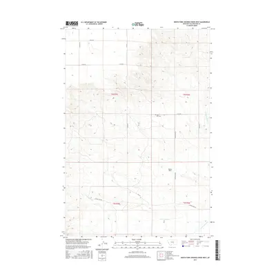
2017 Map of North Fork Crooked Creek West
USGS Topo · Published 2017About this map
Hoskin Basin serves as the central topographic feature of this Yellowstone County landscape, where the high plains of Montana meet the drainage systems of the Musselshell River watershed. The geography is defined by the headwaters of the N Fork Crooked Cr and S Fork Crooked Cr, which carve through the terrain as it transitions between the higher elevations and the basin floor. Historically significant for local families and genealogists, the Hoskin Basin Cem is positioned centrally within this rugged area. A network of rural section-line roads, such as 21 Mile Rd, Hoskins Basin Rd, and Mackey Rd, provides access across the townships of t4n r25e and t4n r26e, tracing the paths established for early ranching and land management in this part of the state.
Find a feature on this map
17 named features on this map. Tap any name to fly to it.
Don’t see what you’re looking for? This feature index may not catch every label — zoom into the map to look around manually.
Map Details
Editions of this 2017 North Fork Crooked Creek West Map
This is the sole edition of this map. No revisions or reprints were ever made.
Other maps of this area

1893 · Huntley
USGS Topo · 1:125,000

1954 · Billings
USGS Topo · 1:250,000

1954 · Roundup
USGS Topo · 1:250,000

1956 · Rattlesnake Butte
USGS Topo · 1:24,000

1956 · Acton
USGS Topo · 1:24,000

1956 · Hickson Ranch
USGS Topo · 1:24,000

1957 · Billings
USGS Topo · 1:250,000

1958 · Billings
USGS Topo · 1:250,000

1958 · Roundup
USGS Topo · 1:250,000

1979 · Roundup
USGS Topo · 1:100,000