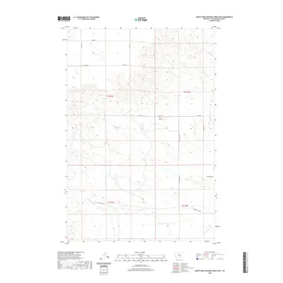
2020 Map of North Fork Crooked Creek West
USGS Topo · Published 2020About this map
Hoskin Basin serves as the central geographic landmark for this region of Yellowstone County, where the high plains meet the headwaters of local drainages. The landscape is defined by the branching tributaries of N Fork Crooked Cr and S Fork Crooked Cr, which cut through the terrain south of the Hoskin Basin Cem. This remote area is mapped with a grid of rural routes including Bender Rd, Goulding Rd, and 21 Mile Rd, which provide access to scattered ranchlands and high-altitude pastures. The survey captures the sparse infrastructure of the Montana interior, where life is organized around the watershed and the long-distance gravel roads that connect this basin to the wider county. It is an essential document for understanding the land use patterns and cemetery locations within the Buffalo Trail vicinity.
Find a feature on this map
17 named features on this map. Tap any name to fly to it.
Don’t see what you’re looking for? This feature index may not catch every label — zoom into the map to look around manually.
Map Details
Editions of this 2020 North Fork Crooked Creek West Map
This is the sole edition of this map. No revisions or reprints were ever made.
Other maps of this area

1893 · Huntley
USGS Topo · 1:125,000

1954 · Billings
USGS Topo · 1:250,000

1954 · Roundup
USGS Topo · 1:250,000

1956 · Rattlesnake Butte
USGS Topo · 1:24,000

1956 · Acton
USGS Topo · 1:24,000

1956 · Hickson Ranch
USGS Topo · 1:24,000

1957 · Billings
USGS Topo · 1:250,000

1958 · Billings
USGS Topo · 1:250,000

1958 · Roundup
USGS Topo · 1:250,000

1979 · Roundup
USGS Topo · 1:100,000