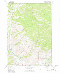
1966 Map of North Fork
USGS Topo · Published 1981About this map
The confluence of the Salmon River and the North Fork of the Salmon River anchors this 1966 topographic survey of Lemhi County. The small settlement of North Fork serves as a gateway to the Salmon National Forest, characterized by steep drainage systems like Wagonhammer Gulch and Stein Gulch. Cultural history is prominently noted along the river corridor, where the historic Lewis and Clark Trail winds past a designated Historical Monument and the North Fork Ranger Sta.
Find a feature on this map
40 named features on this map. Tap any name to fly to it.
Don’t see what you’re looking for? This feature index may not catch every label — zoom into the map to look around manually.
Map Details
Editions of this 1966 North Fork Map
2 editions found
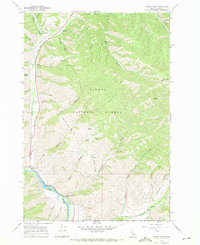
Other maps of this area

1955 · Dillon
USGS Topo · 1:250,000

1956 · Elk City
USGS Topo · 1:250,000

1957 · Dillon
USGS Topo · 1:250,000

1958 · Dillon
USGS Topo · 1:250,000

1960 · Elk City
USGS Topo · 1:250,000

1960 · Ulysses Mtn
USGS Topo · 1:62,500

1960 · Piquett Mountain
USGS Topo · 1:62,500

1962 · Dillon
USGS Topo · 1:250,000

1965 · Dillon
USGS Topo · 1:250,000

1966 · Badger Spring Gulch
USGS Topo · 1:24,000