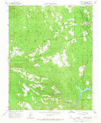
1965 Map of North Fork
USGS Topo · Published 1966About this map
North Fork stands as a focal point in this 1960s study of the Sierra Nevada foothills, where the confluence of North Fork Willow Creek and local infrastructure reveals a landscape shaped by water and timber. The presence of the Ranger Sta and numerous Radio Towers indicates the area's importance for regional management and communication within the Sierra National Forest. The map details a complex water system, featuring the Willow Aqueduct and Flume lines that channel water toward Kerckhoff Lake and the Kerckhoff Dam along the Joaquin River.
Find a feature on this map
49 named features on this map. Tap any name to fly to it.
Don’t see what you’re looking for? This feature index may not catch every label — zoom into the map to look around manually.
Map Details
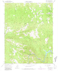
Editions of this 1965 North Fork Map
2 editions found
Other maps of this area

1904 · Kaiser
USGS Topo · 1:125,000

1912 · Mariposa
USGS Topo · 1:125,000

1916 · Sulphur Springs
USGS Topo · 1:24,000

1919 · Sulphur Springs
USGS Topo · 1:31,680

1942 · Millerton Lake
USGS Topo · 1:62,500

1945 · Millerton Lake
USGS Topo · 1:62,500

1947 · Mariposa
USGS Topo · 1:250,000

1948 · Mariposa
USGS Topo · 1:250,000
1953 · Bass Lake
USGS Topo · 1:62,500

1953 · Shaver Lake
USGS Topo · 1:62,500