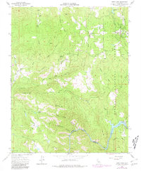
1965 Map of North Fork
USGS Topo · Published 1981About this map
North Fork serves as a central hub in this high-country landscape, where the infrastructure of the Sierra National Forest meets early industrial and ranching outposts. The map documents a complex water management system featuring the Aqueduct and flumes that feed into Kerckhoff Lake at the Kerckhoff Dam. Family history is deeply etched into the land at sites like Walker Ranch and the Walker Cem, while the Fresno Banner Mine and various unnamed Prospects suggest the area's mineral interests. The terrain is defined by dramatic elevation changes from the Joaquin River canyon up to landmarks such as Smiley Mtn and Malum Ridge. These features illustrate the mid-century evolution of Madera County, balancing timber and hydroelectric development with older homesteads and cemeteries.
Find a feature on this map
45 named features on this map. Tap any name to fly to it.
Don’t see what you’re looking for? This feature index may not catch every label — zoom into the map to look around manually.
Map Details
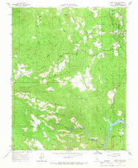
Editions of this 1965 North Fork Map
2 editions found
Other maps of this area

1904 · Kaiser
USGS Topo · 1:125,000

1912 · Mariposa
USGS Topo · 1:125,000

1916 · Sulphur Springs
USGS Topo · 1:24,000

1919 · Sulphur Springs
USGS Topo · 1:31,680

1942 · Millerton Lake
USGS Topo · 1:62,500

1945 · Millerton Lake
USGS Topo · 1:62,500

1947 · Mariposa
USGS Topo · 1:250,000

1948 · Mariposa
USGS Topo · 1:250,000
1953 · Bass Lake
USGS Topo · 1:62,500

1953 · Shaver Lake
USGS Topo · 1:62,500