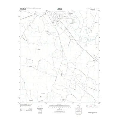
2012 Map of North Fort Hood
USGS Topo · Published 2012About this map
The Fort Hood Military Reservation dominates much of this central Texas landscape, where military infrastructure sits alongside quiet rural settlements. Toward the north, specialized facilities like the Longhorn Auxiliary Landing Strip and Shorthorn Auxiliary Landing Strip illustrate the area's role in aviation and training operations. Outside the reservation boundaries, the small communities of Mound and Flat maintain their traditional footprints near the winding course of the Leon River.
Find a feature on this map
53 named features on this map. Tap any name to fly to it.
Don’t see what you’re looking for? This feature index may not catch every label — zoom into the map to look around manually.
Map Details
Editions of this 2012 North Fort Hood Map
This is the sole edition of this map. No revisions or reprints were ever made.
Other maps of this area

1894 · Gatesville
USGS Topo · 1:125,000

1924 · Gatesville 4-a
USGS Topo · 1:48,000

1930 · Killeen
USGS Topo · 1:62,500

1947 · Fort Hood
USGS Topo · 1:62,500

1947 · Bland
USGS Topo · 1:24,000

1947 · Fort Hood
USGS Topo · 1:24,000

1947 · Purmela
USGS Topo · 1:62,500

1947 · Post Oak Mountain
USGS Topo · 1:24,000

1947 · Killeen
USGS Topo · 1:62,500

1947 · Oglesby
USGS Topo · 1:24,000