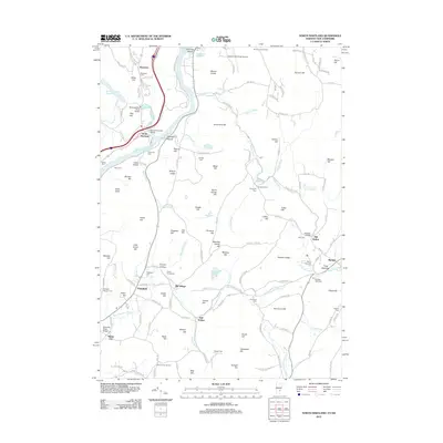
2012 Map of North Hartland
USGS Topo · Published 2012About this map
The Connecticut River serves as the central artery for this border region, winding past Johnston Island and Burnaps Island as it separates New Hampshire and Vermont. Along its banks, the Willard Covered Bridge remains a prominent local landmark near North Hartland, while the Ottauquechee River flows into the main channel just below the North Hartland Reservoir. The topography is defined by significant heights such as Governors Hill and Mount Finish, with the northern portion of the map transitioning into the developed grounds of the Lebanon Municipal Airport.
Find a feature on this map
165 named features on this map. Tap any name to fly to it.
Don’t see what you’re looking for? This feature index may not catch every label — zoom into the map to look around manually.
Map Details
Editions of this 2012 North Hartland Map
This is the sole edition of this map. No revisions or reprints were ever made.
Other maps of this area

1902 · Sunapee
USGS Topo · 1:62,500

1905 · Sunapee
USGS Topo · 1:62,500

1906 · Hanover
USGS Topo · 1:62,500

1907 · Sunapee
USGS Topo · 1:62,500

1908 · Hanover
USGS Topo · 1:62,500

1926 · Claremont
USGS Topo · 1:62,500

1927 · Mascoma
USGS Topo · 1:62,500

1929 · Claremont
USGS Topo · 1:62,500

1932 · Mascoma
USGS Topo · 1:62,500

1950 · Glens Falls
USGS Topo · 1:250,000