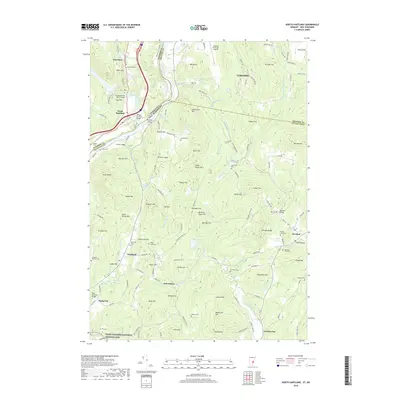
2018 Map of North Hartland
USGS Topo · Published 2018About this map
The Connecticut River serves as the prominent boundary between Vermont and New Hampshire in this recent survey, anchoring a region of riverfront settlements and upland hills. On the eastern shore, the Saint-Gaudens National Historic Site preserves the legacy of the prominent American sculptor, while numerous family-named cemeteries such as Gilkey Cemeteries and Huggin Cem provide vital records for local genealogy.
Find a feature on this map
90 named features on this map. Tap any name to fly to it.
Don’t see what you’re looking for? This feature index may not catch every label — zoom into the map to look around manually.
Map Details
Editions of this 2018 North Hartland Map
This is the sole edition of this map. No revisions or reprints were ever made.
Other maps of this area

1902 · Sunapee
USGS Topo · 1:62,500

1905 · Sunapee
USGS Topo · 1:62,500

1906 · Hanover
USGS Topo · 1:62,500

1907 · Sunapee
USGS Topo · 1:62,500

1908 · Hanover
USGS Topo · 1:62,500

1926 · Claremont
USGS Topo · 1:62,500

1927 · Mascoma
USGS Topo · 1:62,500

1929 · Claremont
USGS Topo · 1:62,500

1932 · Mascoma
USGS Topo · 1:62,500

1950 · Glens Falls
USGS Topo · 1:250,000