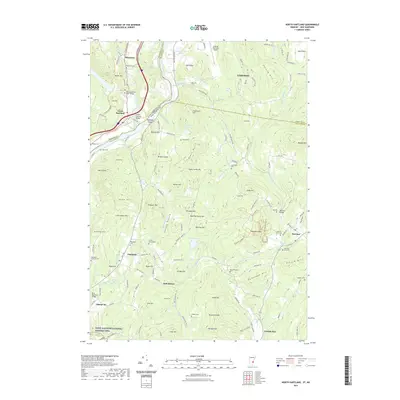
2021 Map of North Hartland
USGS Topo · Published 2021About this map
The Connecticut River serves as the dividing line between Vermont and New Hampshire on this 2021 survey, winding past North Hartland and the riverside settlement of Russtown. This border landscape is defined by its historic crossings and family legacy, featuring the Willard Covered Bridge over the Ottauquechee River and the southern Blow-Me-Down Bridge. Further east, the town of Lebanon sits beneath the heights of Farnum Hill and Storrs Hill, anchored by the Lebanon Municipal Airport.
Find a feature on this map
153 named features on this map. Tap any name to fly to it.
Don’t see what you’re looking for? This feature index may not catch every label — zoom into the map to look around manually.
Map Details
Editions of this 2021 North Hartland Map
This is the sole edition of this map. No revisions or reprints were ever made.
Other maps of this area

1902 · Sunapee
USGS Topo · 1:62,500

1905 · Sunapee
USGS Topo · 1:62,500

1906 · Hanover
USGS Topo · 1:62,500

1907 · Sunapee
USGS Topo · 1:62,500

1908 · Hanover
USGS Topo · 1:62,500

1926 · Claremont
USGS Topo · 1:62,500

1927 · Mascoma
USGS Topo · 1:62,500

1929 · Claremont
USGS Topo · 1:62,500

1932 · Mascoma
USGS Topo · 1:62,500

1950 · Glens Falls
USGS Topo · 1:250,000