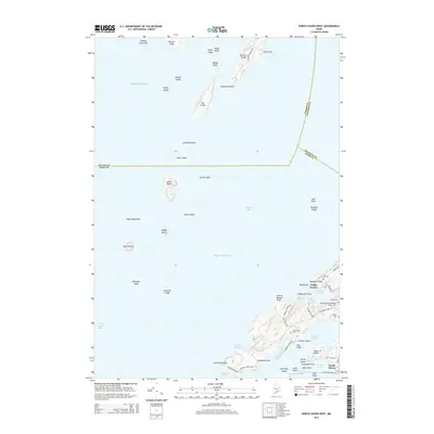
2014 Map of North Haven West
USGS Topo · Published 2014About this map
Pulpit Harbor and the northern reaches of North Haven island define this coastal survey of the Fox Islands. The landscape is a complex network of granite-rimmed coves including Billys Cove, Nortons Cove, and the deep indentation of Southern Harbor. Topographical elevations like Ames Knob provide vantage points over the Penobscot Bay waters, while local history is anchored at Seaview Cem and Fuller Cem.
Find a feature on this map
75 named features on this map. Tap any name to fly to it.
Don’t see what you’re looking for? This feature index may not catch every label — zoom into the map to look around manually.
Map Details
Editions of this 2014 North Haven West Map
This is the sole edition of this map. No revisions or reprints were ever made.
Other maps of this area

1902 · Castine
USGS Topo · 1:62,500

1904 · Castine
USGS Topo · 1:62,500

1904 · Vinalhaven
USGS Topo · 1:62,500

1904 · Rockland
USGS Topo · 1:62,500

1905 · Penobscot Bay
USGS Topo · 1:125,000

1906 · Rockland
USGS Topo · 1:62,500

1915 · Belfast
USGS Topo · 1:62,500

1917 · Belfast
USGS Topo · 1:62,500

1941 · Belfast
USGS Topo · 1:62,500

1941 · Rockland
USGS Topo · 1:62,500