
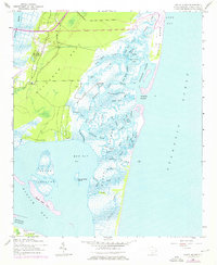
1942 Map of North Island
USGS Topo · Published 1962About this map
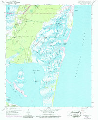
Bellefield Plantation and Friendfield occupy the northern reaches of Waccamaw Neck, marking a landscape where coastal agriculture met the complex tidal networks of the South Carolina Lowcountry during the early 1940s. This survey, conducted during the war years, captures the intricate hydrology of the region before significant modern development altered the shoreline. A labyrinth of tidal passages including Old Man Creek, Town Creek, and Jones Creek weave through the salt marshes, eventually opening into Oyster Bay and the broader waters of North Inlet.
Find a feature on this map
54 named features on this map. Tap any name to fly to it.
Don’t see what you’re looking for? This feature index may not catch every label — zoom into the map to look around manually.
Map Details
Editions of this 1942 North Island Map
3 editions found
Other maps of this area

1942 · Santee Point
USGS Topo · 1:24,000

1942 · Magnolia Beach
USGS Topo · 1:24,000

1942 · Waverly Mills
USGS Topo · 1:24,000

1943 · Georgetown North
USGS Topo · 1:24,000

1943 · Minim Island
USGS Topo · 1:24,000

1943 · Georgetown South
USGS Topo · 1:24,000

1947 · Georgetown South
USGS Topo · 1:24,000

1949 · Georgetown
USGS Topo · 1:250,000

1967 · Georgetown
USGS Topo · 1:250,000
1968 · Georgetown South
USGS Topo · 1:24,000