2022 Map of North Judson
USGS Topo · Published 2022About this map
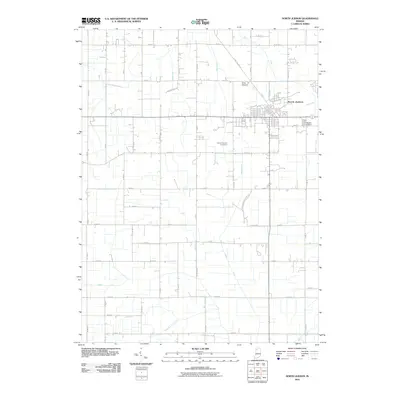
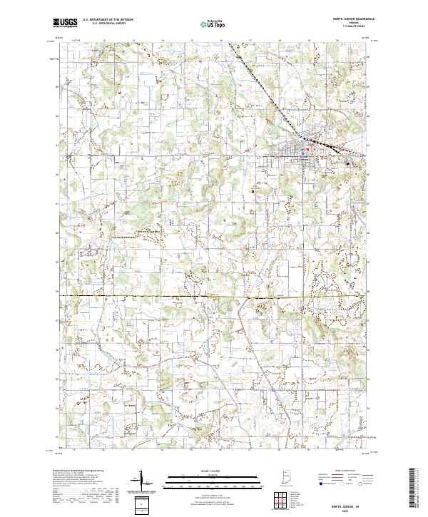
North Judson serves as the primary hub of this northern Indiana landscape, where the grid of the town meets a complex system of agricultural drainage that has defined the region's land use for generations. The intricate network of waterways, including Big Monon Ditch, Burbank Ditch, and Steffel Ditch, illustrates the extensive engineering required to manage the low-lying terrain straddling the border of Starke and Pulaski counties. Historical transit corridors are visible in the form of the North Judson to Monterey Trail and the Rensselaer Trail, reflecting the evolution of early rail and road paths into modern recreational and local infrastructure. Genealogists will find the locations of Highland Cemetery and Saint Jacob Cemetery valuable for tracing local family histories in this rural crossroads.
Find a feature on this map
59 named features on this map. Tap any name to fly to it.
Don’t see what you’re looking for? This feature index may not catch every label — zoom into the map to look around manually.
Map Details
Editions of this 2022 North Judson Map
This is the sole edition of this map. No revisions or reprints were ever made.
Historical Maps of North Judson Through Time
6 maps found