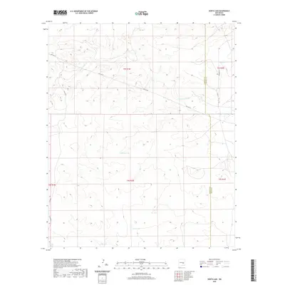
2020 Map of North Lake
USGS Topo · Published 2020About this map
Arroyo del Macho winds across this high desert landscape, carving a prominent drainage through a region defined by scattered water catchments and ranching infrastructure. This survey captures the rural character of the border between Chaves and Lincoln counties, where the terrain is marked by essential water features like Percella Tank, Sec Tank, and Big Tank. These names reflect the vital importance of water management in a semi-arid environment. In the south, North Lake and Middle Arroyo further characterize the hydrology of the area. Connectivity is provided by a network of utilitarian thoroughfares, including the long-stretching Pipe Line Rd and local connectors like Stargrass Rd and Co Rd B027, illustrating how human activity and infrastructure have adapted to the expansive New Mexico basin.
Find a feature on this map
18 named features on this map. Tap any name to fly to it.
Don’t see what you’re looking for? This feature index may not catch every label — zoom into the map to look around manually.
Map Details
Editions of this 2020 North Lake Map
This is the sole edition of this map. No revisions or reprints were ever made.
Other maps of this area

1936 · Arabela
USGS Topo · 1:48,000

1942 · Arabela
USGS Topo · 1:62,500

1955 · Roswell
USGS Topo · 1:250,000

1958 · Roswell
USGS Topo · 1:250,000

1962 · Roswell
USGS Topo · 1:250,000

1967 · Round Mountain SE
USGS Topo · 1:24,000

1967 · North Lake
USGS Topo · 1:24,000

1967 · White Flat
USGS Topo · 1:24,000

1967 · Round Mountain
USGS Topo · 1:24,000

1967 · Chivata Canyon
USGS Topo · 1:24,000