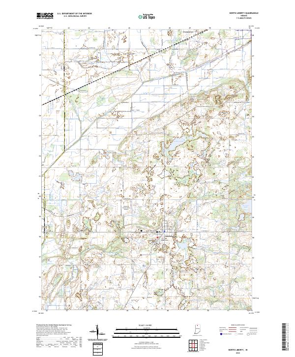
2022 Map of North Liberty
USGS Topo · Published 2022About this map
North Liberty serves as the central hub of this northern Indiana landscape, where the town grid meets a complex system of agricultural drainage and natural wetlands. The town's historical foundations are marked by Westlawn Cem and the Old Cem, while the surrounding countryside is defined by the legacy of the Kankakee River basin. Extensive ditching projects such as the Laskowski Ditch and Dixon-W-Place Ditch illustrate the long-term engineering required to transform this river bottomland into productive territory.
Find a feature on this map
77 named features on this map. Tap any name to fly to it.
Don’t see what you’re looking for? This feature index may not catch every label — zoom into the map to look around manually.
Map Details
Editions of this 2022 North Liberty Map
This is the sole edition of this map. No revisions or reprints were ever made.
Other maps of this area

1953 · Chicago
USGS Topo · 1:250,000

1957 · Chicago
USGS Topo · 1:250,000

1958 · South Bend West
USGS Topo · 1:24,000

1958 · Lydick
USGS Topo · 1:24,000

1958 · La Paz
USGS Topo · 1:24,000

1958 · Hamlet
USGS Topo · 1:24,000

1958 · Walkerton
USGS Topo · 1:24,000

1958 · Stillwell
USGS Topo · 1:24,000

1958 · North Liberty
USGS Topo · 1:24,000

1958 · Lakeville
USGS Topo · 1:24,000