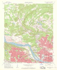
1961 Map of North Little Rock
USGS Topo · Published 1962About this map
The Arkansas River serves as the dividing line between the growing urban centers of Little Rock and North Little Rock in this early 1960s survey. North of the river, the landscape is defined by the massive military presence of Camp Joseph T Robinson and the North Little Rock Municipal Airport. The map shows a transition from the dense residential grid of neighborhoods like Levy and Park Hill to the more open, creek-scored terrain near Marche and Oak Grove. This era of development is marked by a high concentration of institutional landmarks, including the Veterans Administration Hospital, St Josephs Orphanage, and Shorter College. Significant industrial activity is visible in the quarries near Big Rock Mountain, while the Missouri Pacific and Chicago Rock Island and Pacific railroads provide the backbone for the region's transport network.
Find a feature on this map
87 named features on this map. Tap any name to fly to it.
Don’t see what you’re looking for? This feature index may not catch every label — zoom into the map to look around manually.
Map Details
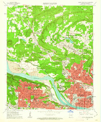
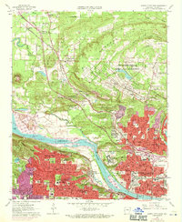
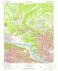
Editions of this 1961 North Little Rock Map
4 editions found
Other maps of this area

1891 · Little Rock
USGS Topo · 1:125,000

1893 · Little Rock
USGS Topo · 1:125,000

1935 · Mc Almont
USGS Topo · 1:24,000

1935 · Little Rock
USGS Topo · 1:24,000

1935 · Sweet Home
USGS Topo · 1:24,000

1935 · North Little Rock
USGS Topo · 1:24,000

1935 · Alexander
USGS Topo · 1:48,000

1941 · Alexander
USGS Topo · 1:62,500

1941 · Olmstead
USGS Topo · 1:31,680

1943 · Pinnacle Mtn
USGS Topo · 1:31,680