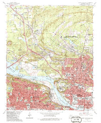
1986 Map of North Little Rock
USGS Topo · Published 1986About this map
Camp Joseph T Robinson dominates the northern landscape of this mid-1980s survey, illustrating the extensive military and aviation footprint in Pulaski County. The map details the transition from the rolling hills of Purdham Hill and Crystal Hill down to the Arkansas River, where the Murray Lock and Dam and Murray Lake define the waterway's navigation. Urban expansion is evident in the dense residential grids of North Little Rock and Little Rock, punctuated by specialized institutions like St Josephs Orphanage, Arkansas School for Blind, and Shorter College. Transportation corridors are anchored by the Missouri Pacific railroad and the North Little Rock Municipal Airport. From the established community of Cammack Village to the rural outskirts of Marche, the sheet captures a region balancing significant public infrastructure, such as Burns Park, with historical local landmarks like Palestine Cem.
Find a feature on this map
120 named features on this map. Tap any name to fly to it.
Don’t see what you’re looking for? This feature index may not catch every label — zoom into the map to look around manually.
Map Details
Editions of this 1986 North Little Rock Map
2 editions found
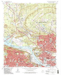
Other maps of this area

1891 · Little Rock
USGS Topo · 1:125,000

1893 · Little Rock
USGS Topo · 1:125,000

1935 · Mc Almont
USGS Topo · 1:24,000

1935 · Little Rock
USGS Topo · 1:24,000

1935 · Sweet Home
USGS Topo · 1:24,000

1935 · North Little Rock
USGS Topo · 1:24,000

1935 · Alexander
USGS Topo · 1:48,000

1941 · Alexander
USGS Topo · 1:62,500

1941 · Olmstead
USGS Topo · 1:31,680

1943 · Pinnacle Mtn
USGS Topo · 1:31,680