
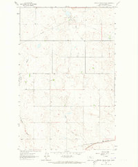
1962 Map of North Lothair School
USGS Topo · Published 1964About this map
The Utopia Gas and Oil Field anchors the northern portion of this 1962 landscape in Liberty County, signaling the industrial importance of resource extraction in this part of Montana. The terrain is defined by the winding course of Eagle Creek and the deep incisions of Galata Ravine, which cut through the high plains. Human presence is sparse but concentrated near essential infrastructure, including the North Lothair Sch which served the local ranching community during the early 1960s.
Find a feature on this map
9 named features on this map. Tap any name to fly to it.
Don’t see what you’re looking for? This feature index may not catch every label — zoom into the map to look around manually.
Map Details
Editions of this 1962 North Lothair School Map
2 editions found
Other maps of this area

1954 · Shelby
USGS Topo · 1:250,000

1958 · Shelby
USGS Topo · 1:250,000

1962 · Tiber
USGS Topo · 1:24,000

1962 · Lakey Ranch
USGS Topo · 1:24,000

1962 · Berkholder Reservoir
USGS Topo · 1:24,000

1962 · Blair Ranch
USGS Topo · 1:24,000

1962 · Mc Carters Lake SE
USGS Topo · 1:24,000

1970 · Sagebrush Coulee
USGS Topo · 1:24,000

1970 · Galata
USGS Topo · 1:24,000
1970 · Lothair
USGS Topo · 1:24,000