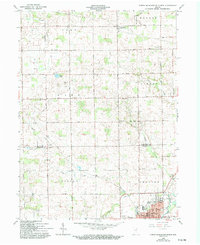
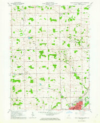
1962 Map of North Manchester North
USGS Topo · Published 1994About this map
North Manchester serves as a significant educational and civic anchor at the southern edge of this survey, where the grounds of Manchester College and Peabody Memorial Home are clearly defined. The landscape is heavily marked by early rural social structures, with numerous denominational sites such as Old German Ch and the West Eel River Ch scattered across the township boundaries of Clay, Jackson, and Chester.
Find a feature on this map
41 named features on this map. Tap any name to fly to it.
Don’t see what you’re looking for? This feature index may not catch every label — zoom into the map to look around manually.
Map Details
Editions of this 1962 North Manchester North Map
2 editions found
Other maps of this area

1950 · Pierceton
USGS Topo · 1:24,000

1953 · Fort Wayne
USGS Topo · 1:250,000

1953 · Muncie
USGS Topo · 1:250,000

1956 · Muncie
USGS Topo · 1:250,000

1956 · Fort Wayne
USGS Topo · 1:250,000

1957 · Warsaw
USGS Topo · 1:24,000

1961 · Silver Lake
USGS Topo · 1:24,000

1961 · Roann
USGS Topo · 1:24,000
1961 · Servia
USGS Topo · 1:24,000
1961 · North Manchester South
USGS Topo · 1:24,000