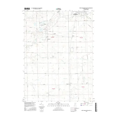
2016 Map of North Manchester South
USGS Topo · Published 2016About this map
The Eel River flows through this portion of Wabash County, anchoring a landscape shaped by rural industry and water management. While the southern edge of North Manchester dominates the northeast, the map reveals a network of smaller communities including Laketon, Ijamsville, and Urbana. The terrain is defined by an extensive system of man-made waterways like Hamilton Ditch, Miller Ditch, and Oren Ditch, which redirected the natural drainage to support the region's agricultural development.
Find a feature on this map
71 named features on this map. Tap any name to fly to it.
Don’t see what you’re looking for? This feature index may not catch every label — zoom into the map to look around manually.
Map Details
Editions of this 2016 North Manchester South Map
This is the sole edition of this map. No revisions or reprints were ever made.
Other maps of this area

1950 · Lagro
USGS Topo · 1:24,000

1951 · Lagro
USGS Topo · 1:24,000

1951 · Richvalley
USGS Topo · 1:24,000

1952 · Wabash
USGS Topo · 1:24,000

1953 · Fort Wayne
USGS Topo · 1:250,000

1953 · Muncie
USGS Topo · 1:250,000

1956 · Muncie
USGS Topo · 1:250,000

1956 · Fort Wayne
USGS Topo · 1:250,000

1961 · Silver Lake
USGS Topo · 1:24,000

1961 · Roann
USGS Topo · 1:24,000