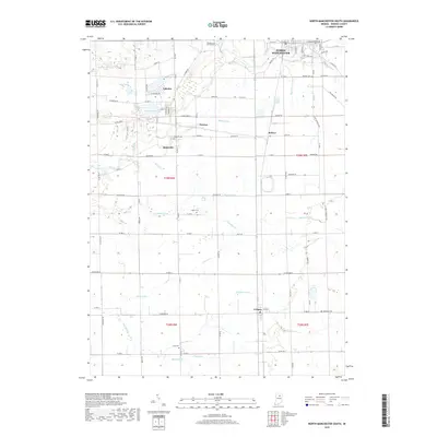
2019 Map of North Manchester South
USGS Topo · Published 2019About this map
Laketon and Ijamsville anchor this portion of Wabash County, where the landscape is defined by an intricate network of drainage ditches and small waterways feeding into the Eel River. The terrain is marked by the presence of several significant water bodies in the northwest, including Mud Lake and Round Lake, which sit adjacent to the small community of Laketon. This area shows a deep connection to its local history through numerous family and community burial grounds, such as Algers Cem and Laketon Cem, scattered among the rural township grids.
Find a feature on this map
68 named features on this map. Tap any name to fly to it.
Don’t see what you’re looking for? This feature index may not catch every label — zoom into the map to look around manually.
Map Details
Editions of this 2019 North Manchester South Map
This is the sole edition of this map. No revisions or reprints were ever made.
Other maps of this area

1950 · Lagro
USGS Topo · 1:24,000

1951 · Lagro
USGS Topo · 1:24,000

1951 · Richvalley
USGS Topo · 1:24,000

1952 · Wabash
USGS Topo · 1:24,000

1953 · Fort Wayne
USGS Topo · 1:250,000

1953 · Muncie
USGS Topo · 1:250,000

1956 · Muncie
USGS Topo · 1:250,000

1956 · Fort Wayne
USGS Topo · 1:250,000

1961 · Silver Lake
USGS Topo · 1:24,000

1961 · Roann
USGS Topo · 1:24,000