Loading...
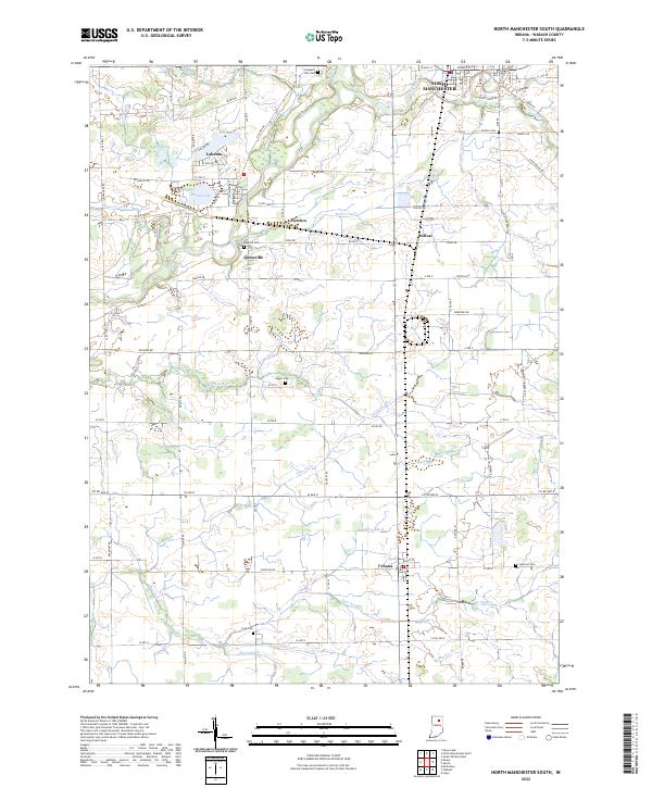
Loading map...2022 Map of North Manchester South
USGS Topo · Published 2022About this map
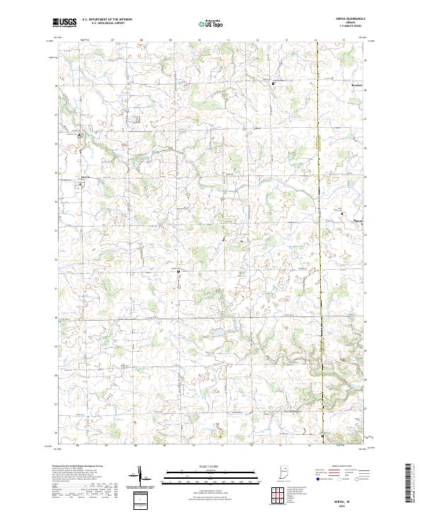
The Eel River valley in Wabash County defines this landscape, flowing through the southern reaches of North Manchester. This agricultural corridor is marked by a dense network of drainage ditches, including Miller Ditch, Staver Ditch, and Oren Ditch, which support the surrounding farmland. The settlement of Laketon is situated between Mud Lake and Round Lake, serving as a focal point for local residency alongside the smaller hamlets of Ijamsville, Newton, and Urbana.
Find a feature on this map
68 named features on this map. Tap any name to fly to it.
Don’t see what you’re looking for? This feature index may not catch every label — zoom into the map to look around manually.
Map Details
Date Portrayed2022
Date Published2022
PublisherU.S. Geological Survey
Map TypeTopographic
Scale1:24000
Physical Dimensions24 x 29 inches
Editions of this 2022 North Manchester South Map
This is the sole edition of this map. No revisions or reprints were ever made.
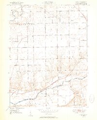
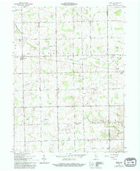
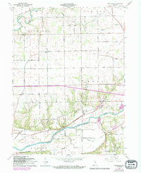
Historical Maps of Newton Through Time
7 maps found

Featured Locations
Source Details
SourceU.S. Geological Survey
CopyrightPublic Domain