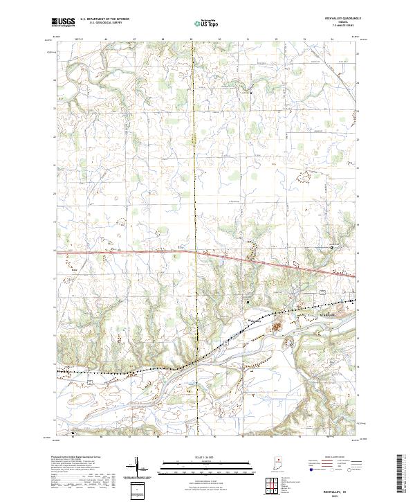
2022 Map of Richvalley
USGS Topo · Published 2022About this map
The Wabash River and Eel River dominate the northern and southern reaches of this landscape on the Miami Co Wabash Co border. The settlement of Richvalley sits just north of the Wabash, served by W Old 24 and surrounded by a network of drainage infrastructure like Unger Ditch and Snyder Ditch. This area is notable for its proximity to the Frances Slocum State Forest region, though the map focus is on the agricultural and riverine township lines of t27n r6e and t28n r5e.
Find a feature on this map
65 named features on this map. Tap any name to fly to it.
Don’t see what you’re looking for? This feature index may not catch every label — zoom into the map to look around manually.
Map Details
Editions of this 2022 Richvalley Map
This is the sole edition of this map. No revisions or reprints were ever made.
Other maps of this area

1951 · Peru
USGS Topo · 1:24,000

1951 · Bunker Hill
USGS Topo · 1:24,000

1951 · Richvalley
USGS Topo · 1:24,000

1952 · Wabash
USGS Topo · 1:24,000

1953 · Somerset
USGS Topo · 1:24,000

1953 · Peoria
USGS Topo · 1:24,000

1953 · Danville
USGS Topo · 1:250,000

1953 · Muncie
USGS Topo · 1:250,000

1955 · Danville
USGS Topo · 1:250,000

1956 · Muncie
USGS Topo · 1:250,000