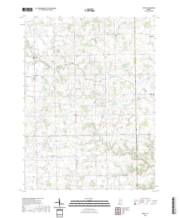
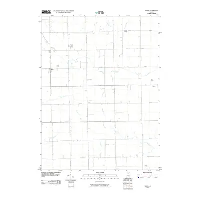
2022 Map of Servia
USGS Topo · Published 2022About this map
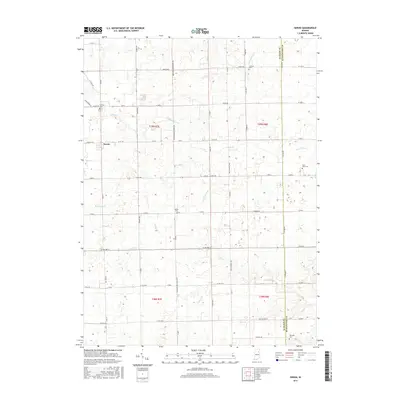
Servia and Bippus anchor this survey of the Wabash-Huntington county line, where a complex network of agricultural drainage and creek systems defines the landscape. The terrain is crisscrossed by established rural routes, including the prominent Gene Stratton Porter Rd, which traverses several sections from north to south. Genealogists will find a significant distribution of small burial grounds tucked away in these sections, from Fairview Cem in the northwest to Allbright Cem in the southeast. Numerous waterways like Beargrass Cr, Paw Paw Cr, and Peabody Ditch illustrate the ongoing management of the local watershed. The placement of Concord Cem and Saint Johns Cem near these drainage systems suggests the long-standing integration of small rural communities with the local geography and hydrologic patterns of the region.
Find a feature on this map
67 named features on this map. Tap any name to fly to it.
Don’t see what you’re looking for? This feature index may not catch every label — zoom into the map to look around manually.
Map Details
Editions of this 2022 Servia Map
This is the sole edition of this map. No revisions or reprints were ever made.
Historical Maps of Servia Through Time
19 maps found
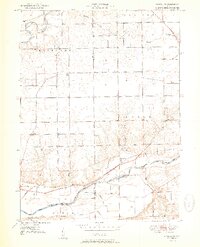
1951 Richvalley
Wabash County, IN

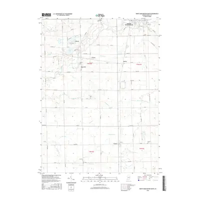
1961 North Manchester South
Wabash County, IN
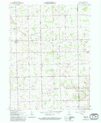
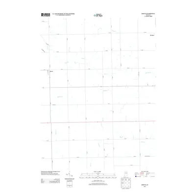
1961 Servia
Wabash County, IN
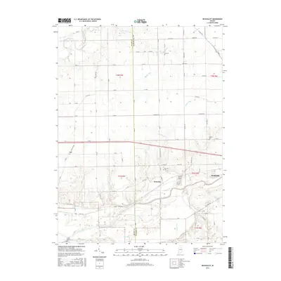
1963 Richvalley
Wabash County, IN
2010 North Manchester South
Wabash County, IN
2010 Richvalley
Wabash County, IN
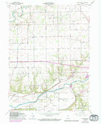
2010 Servia
Wabash County, IN
2013 North Manchester South
Wabash County, IN
2013 Richvalley
Wabash County, IN
2013 Servia
Wabash County, IN
2016 North Manchester South
Wabash County, IN
2016 Richvalley
Wabash County, IN
2016 Servia
Wabash County, IN
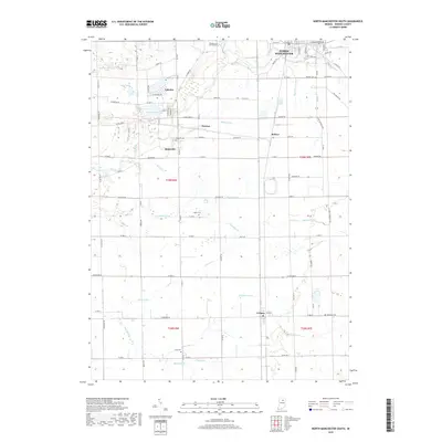
2019 North Manchester South
Wabash County, IN
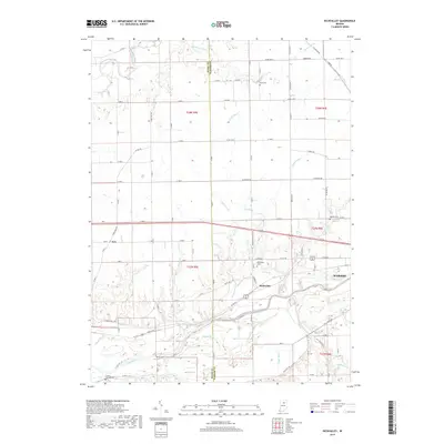
2019 Richvalley
Wabash County, IN
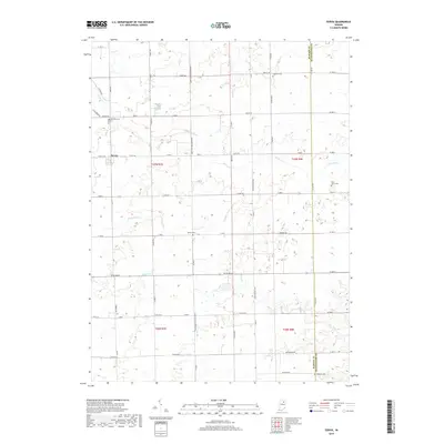
2019 Servia
Wabash County, IN
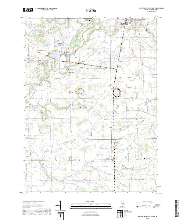
2022 North Manchester South
Wabash County, IN
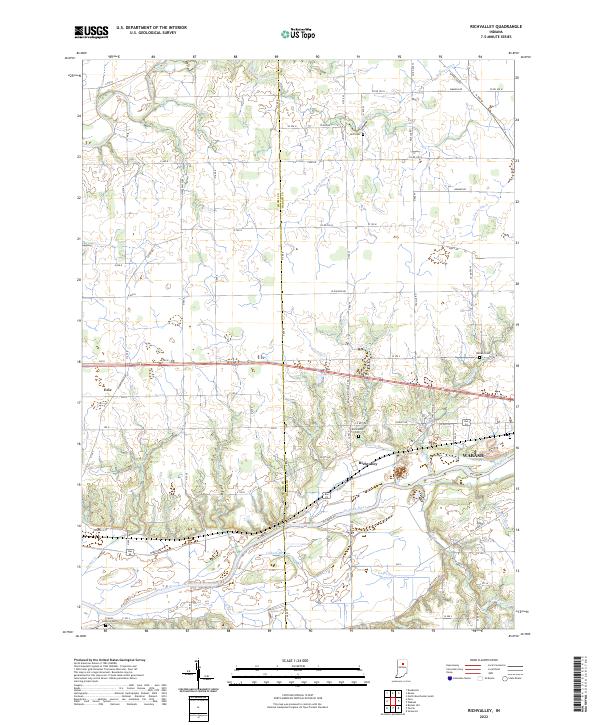
2022 Richvalley
Wabash County, IN
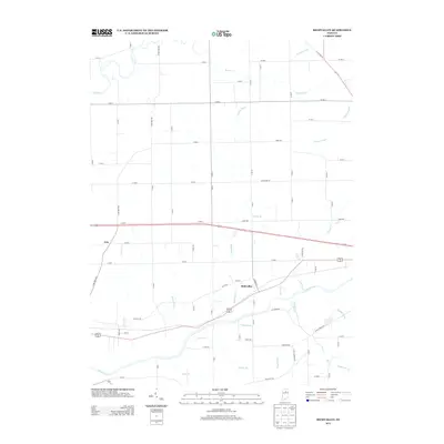
2022 Servia
Wabash County, IN