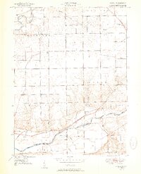
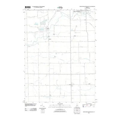
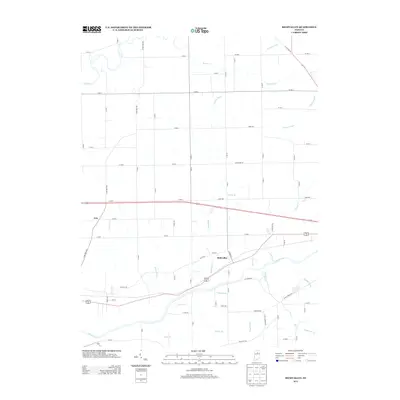
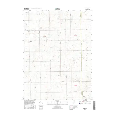
1951 Map of Richvalley
USGS Topo · Published 1951About this map
The Wabash River and the Eel River dominate the drainage of this Indiana landscape, following paths through the townships of Richland, Noble, and Erie. The settlement pattern in the early 1950s shows small centers such as Richvalley and Gilbert clustered near the Wabash railroad line, which follows the river's northern bank. This map provides specific genealogical value through its identification of local burial grounds, including the Francis Godfroy Cem near the river and the Huff Cem to the north.
Find a feature on this map
26 named features on this map. Tap any name to fly to it.
Don’t see what you’re looking for? This feature index may not catch every label — zoom into the map to look around manually.
Map Details
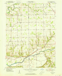
Editions of this 1951 Richvalley Map
2 editions found
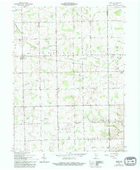
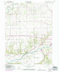
Historical Maps of Wabash Through Time
19 maps found
1951 Richvalley
Wabash County, IN

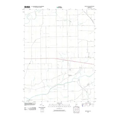
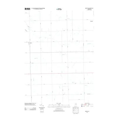
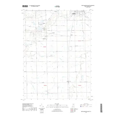
1961 North Manchester South
Wabash County, IN
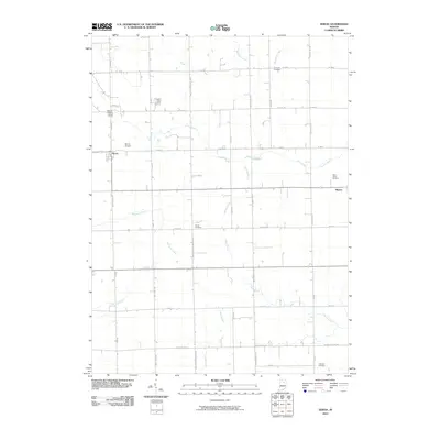
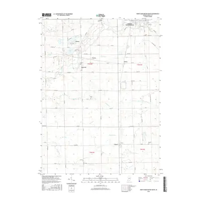
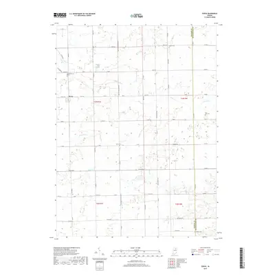
1961 Servia
Wabash County, IN
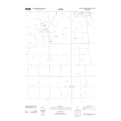
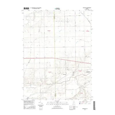
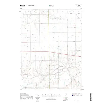
1963 Richvalley
Wabash County, IN
2010 North Manchester South
Wabash County, IN
2010 Richvalley
Wabash County, IN
2010 Servia
Wabash County, IN
2013 North Manchester South
Wabash County, IN
2013 Richvalley
Wabash County, IN
2013 Servia
Wabash County, IN
2016 North Manchester South
Wabash County, IN
2016 Richvalley
Wabash County, IN
2016 Servia
Wabash County, IN
2019 North Manchester South
Wabash County, IN
2019 Richvalley
Wabash County, IN
2019 Servia
Wabash County, IN
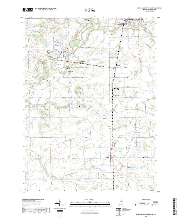
2022 North Manchester South
Wabash County, IN
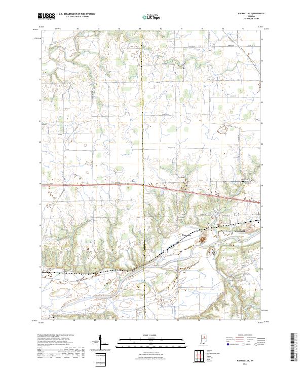
2022 Richvalley
Wabash County, IN
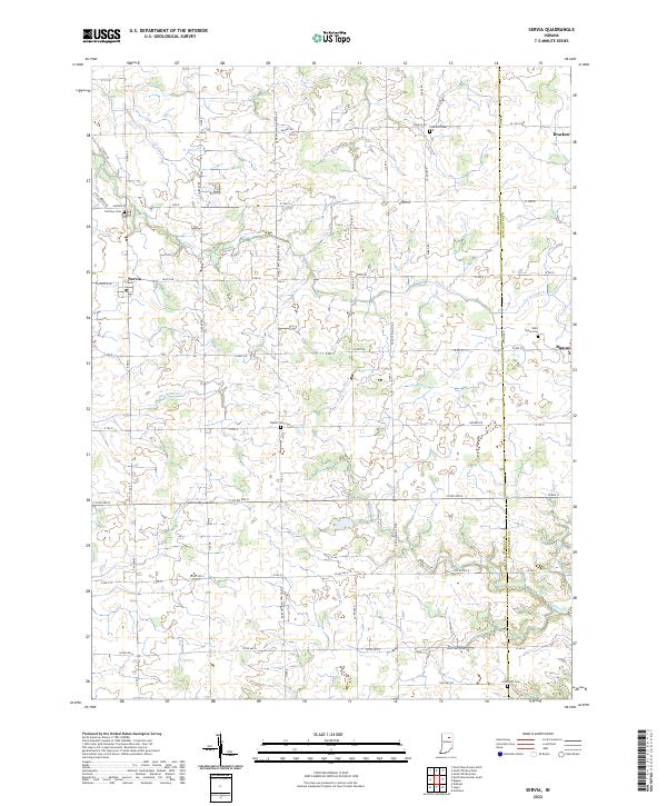
2022 Servia
Wabash County, IN