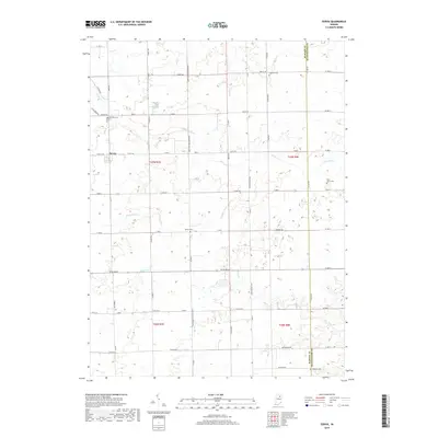
2019 Map of Servia
USGS Topo · Published 2019About this map
Servia is the primary settlement on this rural landscape in Wabash County, positioned near the headwaters of several drainage systems. The terrain is defined by a dense network of watercourses, including Pony Cr, Beargrass Cr, and Paw Paw Cr, which transition into man-made modifications like Peabody Ditch and Carroll Ditch. This grid of agricultural land is punctuated by several small burial grounds that serve as markers of the area's pioneer history, such as Concord Cem, Fairview Cem, and Saint Johns Cem. The map shows a transition of county lines between Wabash and Huntington counties, where local transit is facilitated by named rural corridors like Gene Stratton Porter Rd and Rock-Springs Pike.
Find a feature on this map
59 named features on this map. Tap any name to fly to it.
Don’t see what you’re looking for? This feature index may not catch every label — zoom into the map to look around manually.
Map Details
Editions of this 2019 Servia Map
This is the sole edition of this map. No revisions or reprints were ever made.
Other maps of this area

1950 · Lagro
USGS Topo · 1:24,000

1950 · Andrews
USGS Topo · 1:24,000

1951 · Andrews
USGS Topo · 1:24,000

1951 · Lagro
USGS Topo · 1:24,000

1952 · Wabash
USGS Topo · 1:24,000

1953 · Fort Wayne
USGS Topo · 1:250,000

1953 · Muncie
USGS Topo · 1:250,000

1955 · Bippus
USGS Topo · 1:24,000

1956 · Muncie
USGS Topo · 1:250,000

1956 · Fort Wayne
USGS Topo · 1:250,000