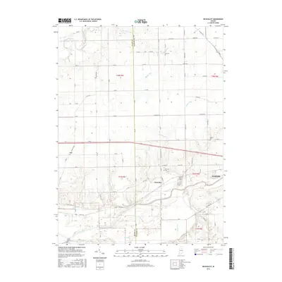
2016 Map of Richvalley
USGS Topo · Published 2016About this map
The Wabash River and Eel River define the hydraulic character of this Indiana landscape, which is marked by an extensive network of managed drainage like Beamer Ditch and Johnson Ditch. Small rural settlements such as Richvalley and Erie are situated amidst a grid of county roads, reflecting the agricultural stability of the region. For those tracing local heritage, the map identifies several burial sites including the Francis Godfroy Cem near the river, as well as Huff Cem and Wallace Cem further inland. The intersection of natural watercourses like Kentner Cr and Bachelor Creek with the rectilinear road system illustrates the long-term modification of the Miami and Wabash County borderlands for farming and local transit.
Find a feature on this map
70 named features on this map. Tap any name to fly to it.
Don’t see what you’re looking for? This feature index may not catch every label — zoom into the map to look around manually.
Map Details
Editions of this 2016 Richvalley Map
This is the sole edition of this map. No revisions or reprints were ever made.
Other maps of this area

1951 · Peru
USGS Topo · 1:24,000

1951 · Bunker Hill
USGS Topo · 1:24,000

1951 · Richvalley
USGS Topo · 1:24,000

1952 · Wabash
USGS Topo · 1:24,000

1953 · Somerset
USGS Topo · 1:24,000

1953 · Peoria
USGS Topo · 1:24,000

1953 · Danville
USGS Topo · 1:250,000

1953 · Muncie
USGS Topo · 1:250,000

1955 · Danville
USGS Topo · 1:250,000

1956 · Muncie
USGS Topo · 1:250,000