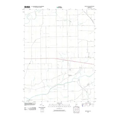
2010 Map of Richvalley
USGS Topo · Published 2010About this map
Richvalley sits as a central point of interest in this Indiana landscape, situated along the northern banks of the Wabash River. The settlement pattern here is deeply influenced by the river valley and a dense network of tributaries including Engleman Creek, Schrom Creek, and Gilbert Branch. To the north, the terrain transitions into agricultural tracts defined by the Eel River and its feeder streams like Paw Paw Creek.
Find a feature on this map
68 named features on this map. Tap any name to fly to it.
Don’t see what you’re looking for? This feature index may not catch every label — zoom into the map to look around manually.
Map Details
Editions of this 2010 Richvalley Map
This is the sole edition of this map. No revisions or reprints were ever made.
Other maps of this area

1951 · Peru
USGS Topo · 1:24,000

1951 · Bunker Hill
USGS Topo · 1:24,000

1951 · Richvalley
USGS Topo · 1:24,000

1952 · Wabash
USGS Topo · 1:24,000

1953 · Somerset
USGS Topo · 1:24,000

1953 · Peoria
USGS Topo · 1:24,000

1953 · Danville
USGS Topo · 1:250,000

1953 · Muncie
USGS Topo · 1:250,000

1955 · Danville
USGS Topo · 1:250,000

1956 · Muncie
USGS Topo · 1:250,000