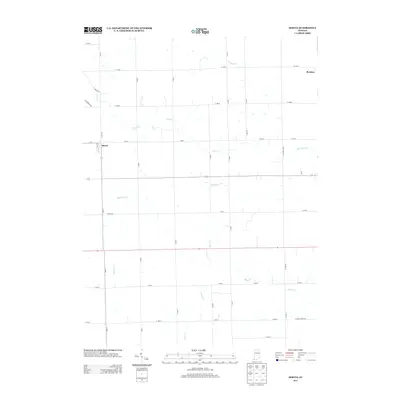
2013 Map of Servia
USGS Topo · Published 2013About this map
Servia sits at the intersection of a grid-defined rural landscape, characterized by the intricate drainage systems of north-central Indiana. This terrain is defined by winding waterways such as Beargrass Cr and Pony Cr, which weave between agricultural plots and straight-line roads like E Singer Rd and Hoover Rd. The small community of Bracken lies to the northeast, marking the periphery of this agricultural expanse where small tributaries like Simonton Cr and Silver Cr feed into the regional watershed.
Find a feature on this map
40 named features on this map. Tap any name to fly to it.
Don’t see what you’re looking for? This feature index may not catch every label — zoom into the map to look around manually.
Map Details
Editions of this 2013 Servia Map
This is the sole edition of this map. No revisions or reprints were ever made.
Other maps of this area

1950 · Lagro
USGS Topo · 1:24,000

1950 · Andrews
USGS Topo · 1:24,000

1951 · Andrews
USGS Topo · 1:24,000

1951 · Lagro
USGS Topo · 1:24,000

1952 · Wabash
USGS Topo · 1:24,000

1953 · Fort Wayne
USGS Topo · 1:250,000

1953 · Muncie
USGS Topo · 1:250,000

1955 · Bippus
USGS Topo · 1:24,000

1956 · Muncie
USGS Topo · 1:250,000

1956 · Fort Wayne
USGS Topo · 1:250,000