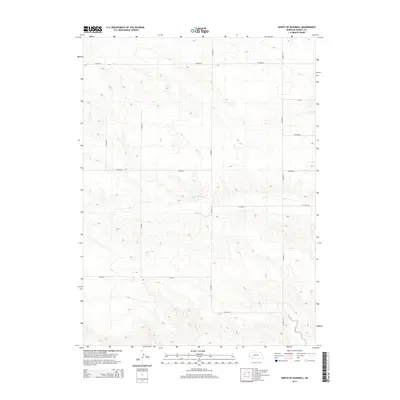
2014 Map of North of Bushnell
USGS Topo · Published 2014About this map
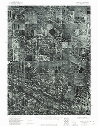
Nelson Reservoir sits at the heart of this Kimball County landscape, providing a critical water source in an area defined by its systematic section-line road network. The terrain is marked by a series of north-south and east-west thoroughfares, including Co Road 13, Co Road 17, and Co Road 9, which delineate the expansive agricultural and ranching tracts typical of the Nebraska Panhandle. The topography consists of a series of subtle ridges and drainage patterns that feed into the central reservoir basin.
Find a feature on this map
12 named features on this map. Tap any name to fly to it.
Don’t see what you’re looking for? This feature index may not catch every label — zoom into the map to look around manually.
Map Details
Editions of this 2014 North of Bushnell Map
This is the sole edition of this map. No revisions or reprints were ever made.
Other maps of this area

1954 · Scottsbluff
USGS Topo · 1:250,000
1954 · Cheyenne
USGS Topo · 1:250,000
1958 · Cheyenne
USGS Topo · 1:250,000

1958 · Scottsbluff
USGS Topo · 1:250,000
1963 · Pine Bluffs
USGS Topo · 1:24,000
1963 · Lindbergh
USGS Topo · 1:24,000
1968 · Pine Bluffs
USGS Topo · 1:24,000
1972 · Bushnell
USGS Topo · 1:24,000
1972 · Oliver Reservoir
USGS Topo · 1:24,000
1973 · Kimball 2 NE
USGS Topo · 1:24,000