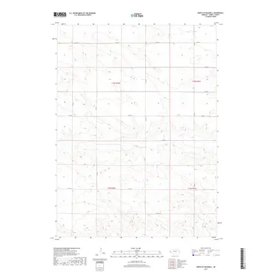
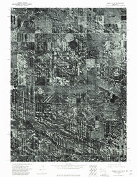
2017 Map of North of Bushnell
USGS Topo · Published 2017About this map
Kimball County’s high plains terrain is defined by a rigorous section-line road network and subtle topographic shifts north of the Lodgepole Creek valley. This landscape, primarily used for dryland farming and ranching, is organized by the Public Land Survey System, with boundaries such as t16n r58w and t15n r58w marking the expansive rural blocks. The transport infrastructure relies on a grid of county routes, including Co Rd 52 in the north and Co Rd 40 further south, which facilitate movement across the undulating draws and plateaus. While no major towns are located within this specific quadrangle, the dense network of roads like Co Rd 13 and Co Rd 17 provides a clear view of the agricultural parcels and land ownership patterns that have sustained this part of the Nebraska Panhandle into the 21st century.
Find a feature on this map
15 named features on this map. Tap any name to fly to it.
Don’t see what you’re looking for? This feature index may not catch every label — zoom into the map to look around manually.
Map Details
Editions of this 2017 North of Bushnell Map
This is the sole edition of this map. No revisions or reprints were ever made.
Other maps of this area

1954 · Scottsbluff
USGS Topo · 1:250,000
1954 · Cheyenne
USGS Topo · 1:250,000
1958 · Cheyenne
USGS Topo · 1:250,000

1958 · Scottsbluff
USGS Topo · 1:250,000
1963 · Pine Bluffs
USGS Topo · 1:24,000
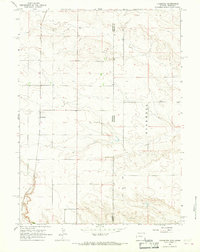
1963 · Lindbergh
USGS Topo · 1:24,000
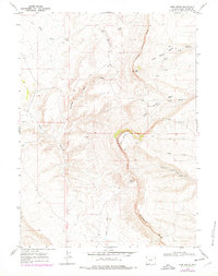
1968 · Pine Bluffs
USGS Topo · 1:24,000
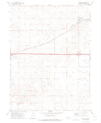
1972 · Bushnell
USGS Topo · 1:24,000
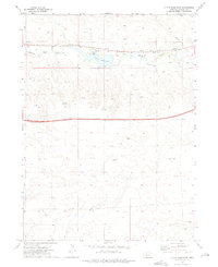
1972 · Oliver Reservoir
USGS Topo · 1:24,000
1973 · Kimball 2 NE
USGS Topo · 1:24,000