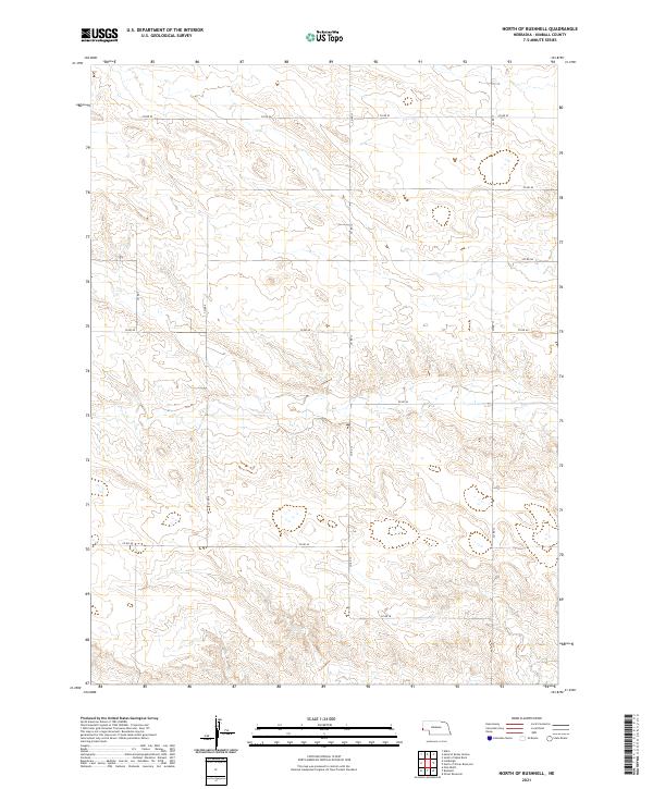
2021 Map of North of Bushnell
USGS Topo · Published 2021About this map
The High Plains of Kimball County are defined by a rhythmic grid of sectional roads and vast agricultural tracts in this 2021 survey. The landscape is structured by a network of county routes including Co Rd 52 and Co Rd 46, which facilitate movement through the dryland farming and ranching country of western Nebraska. Topographic relief is subtle, characterized by gentle undulations and intermittent drainages that cross the land north of Bushnell.
Find a feature on this map
15 named features on this map. Tap any name to fly to it.
Don’t see what you’re looking for? This feature index may not catch every label — zoom into the map to look around manually.
Map Details
Editions of this 2021 North of Bushnell Map
This is the sole edition of this map. No revisions or reprints were ever made.
Other maps of this area

1954 · Scottsbluff
USGS Topo · 1:250,000

1954 · Cheyenne
USGS Topo · 1:250,000

1958 · Cheyenne
USGS Topo · 1:250,000

1958 · Scottsbluff
USGS Topo · 1:250,000

1963 · Pine Bluffs
USGS Topo · 1:24,000

1963 · Lindbergh
USGS Topo · 1:24,000

1968 · Pine Bluffs
USGS Topo · 1:24,000

1972 · Bushnell
USGS Topo · 1:24,000

1972 · Oliver Reservoir
USGS Topo · 1:24,000

1973 · Kimball 2 NE
USGS Topo · 1:24,000