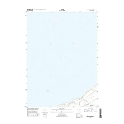
2016 Map of North of Dunkirk
USGS Topo · Published 2016About this map
Lake Erie dominates this coastal survey, where the waters meet the northern edge of Chautauqua County. The map focuses on the shoreline infrastructure and drainage patterns just north of the city center. Along the coast, Dunkirk is represented by its waterfront and the industrial and residential grid that transitions into the rural outskirts. Local landmarks such as Saint Hyacinth's Cem provide specific points of interest for genealogists tracing family histories in the area. Further inland, the Chautauqua County/Dunkirk Airport serves as a major transportation hub, situated among the small waterways of Scott Cr and Beaver Cr. This study documents the modern road network and coastal elevation at a time when the region's relationship with the Great Lakes remained central to its geography.
Find a feature on this map
12 named features on this map. Tap any name to fly to it.
Don’t see what you’re looking for? This feature index may not catch every label — zoom into the map to look around manually.
Map Details
Editions of this 2016 North of Dunkirk Map
This is the sole edition of this map. No revisions or reprints were ever made.
Other maps of this area

1899 · Silver Creek
USGS Topo · 1:62,500

1900 · Dunkirk
USGS Topo · 1:62,500

1900 · Cherry Creek
USGS Topo · 1:62,500

1941 · Cherry Creek
USGS Topo · 1:62,500

1943 · Dunkirk
USGS Topo · 1:62,500

1943 · Silver Creek
USGS Topo · 1:24,000

1944 · Silver Creek
USGS Topo · 1:31,680

1954 · Forestville
USGS Topo · 1:24,000
1954 · Dunkirk
USGS Topo · 1:24,000
1954 · Brocton
USGS Topo · 1:24,000