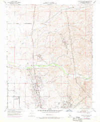
1954 Map of North of Oildale
USGS Topo · Published 1970About this map
Industrial expansion and resource extraction define this landscape north of Bakersfield during the mid-20th century. The Kern Front Oil Field and various other Oil Field operations dominate the southern half of the sheet, characterized by a dense network of Pipe Line and Pipe Lines that connect drilling sites to storage tanks and refineries. This extractive economy exists alongside specialized facilities like the Kern County Industrial Farm and recreational developments such as the Golf Course, illustrating the region's diverse land use.
Find a feature on this map
12 named features on this map. Tap any name to fly to it.
Don’t see what you’re looking for? This feature index may not catch every label — zoom into the map to look around manually.
Map Details
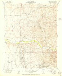
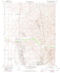
Editions of this 1954 North of Oildale Map
3 editions found
Other maps of this area

1906 · Bakersfield
USGS Topo · 1:62,500

1910 · Buena Vista Lake
USGS Topo · 1:125,000

1912 · Buena Vista Lake
USGS Topo · 1:125,000

1914 · Caliente
USGS Topo · 1:125,000

1927 · McFarland
USGS Topo · 1:31,680

1930 · McFarland
USGS Topo · 1:31,680

1930 · Famoso
USGS Topo · 1:31,680

1930 · Rosedale
USGS Topo · 1:31,680

1930 · Oildale
USGS Topo · 1:31,680

1931 · Deepwell Ranch
USGS Topo · 1:31,680